Adding value to my nights under canvas tally for the year, I decided a prospecting trip was in order. Just prior to my Marble Bar trip, I took Minelab up on their offer on the re-introduction of the GPX-4500 detector. Its a good, proven machine. Having a couple of weeks annual leave, I spent one of those overseas which left me with a week spare. On my return from offshore, it took my a couple of days to sort my crap out from the week prior. The forecast was showing a cooler patch and it wouldn't take me long to pack. So the decision had been made. Time to get the 4500 dirty at last.
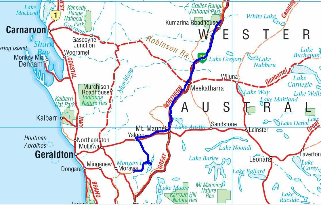
Not having a lot of time to research productive areas and not wanting to hit the fabled wide loads and road works on the Gt. Northern Highway, I thought I would head up around Southern Cross/Coolgardie way. Tenegraph showed me South of Southern cross was probably the area to be. However it was all live tenements and I didn't have the luxury of time of seeking permission to be there.
Looking North of Southern Cross, I found Ennuin Station had some pending ground. Very near to the Birthday Mine that I went to visit a couple of months back, but a locked gate kept me out. When there I also noted some old diggings, so it has to be worth a look I guess. See Mud, Mountains and Mines (August 2015 entry)
So first up a little history about Ennuin:
During 1871 G. Lukin and D.B. Clarkson overlanded sheep from Toodyay to 'Yilgarn Station', now known as 'Ennuin'. Very limited water and drought caused the sheep to be sold Much of the Area is unsuitable for pastoral industry because of the difficulty of obtaining reliable water. Also, sandplain vegetation has poor grazing qualities. The few sheep leases operate in woodland valleys where saltbush (Atriplex spp.) provides palatable food. However, these stations are hardly viable and have been abandoned on a number of occasions.
Source: WA Museum
The station has been destocked and the Leaseholder has joined the land for Wildlife program:
http://www.dpaw.wa.gov.au/management/off-reserve-conservation/land-for-wildlife
The station, which has a part of the Highclere Hills run through it (formerly known as the Yilgarn Hills), was one of the first discoveries of gold in the State back in 1887, at a place to the South of my planned destination. More research of the Birthday Mine produced the following:
Underground mining at the Birthday Mine between 2000 and 2010 has yielded over 160kg of gold averaging over 14g per tonne of material excavated. The most recent production was an 18 month period between January 2009 to May 2010, wherein a total of 2,164 tonnes of ore was mined with ore grade between 4g to 26g per tonne, and averaging 15.5g per tonne. During that period, it produced 1,135.64g of gold from areas within the Birthday Mine lease which grossed $1,466,359 at gold prices of $1,208.00 per oz.
Source: Infinio Group market report
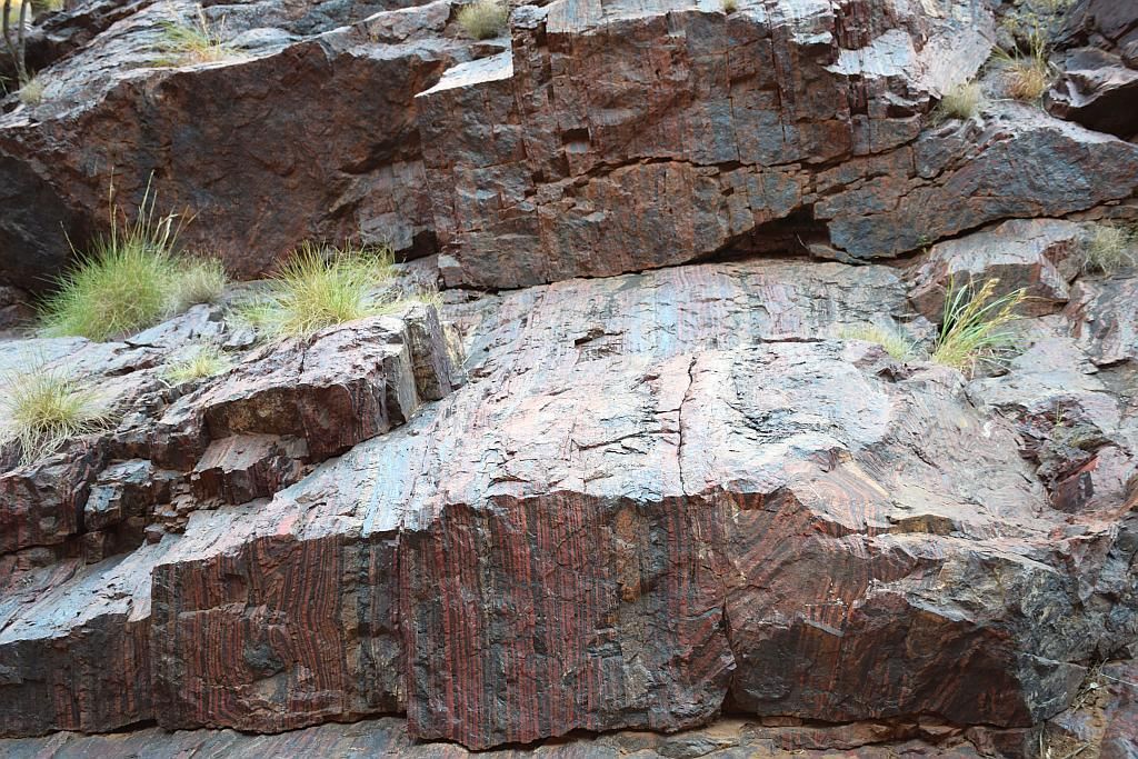
The little geology information comes from a brief site visit by a Perth geologist in 2012. The mine is located in the northern section of the Bullfinch Greenstone Belt, containing layered amphibolite and banded iron formations. Shearing within the amphibolites host the primary gold. The mine is near an ultramafic inclusion within a larger sequence of basalts. Parallel shearing hosts most of the gold, with quartz veining with oblique cross cutting veins playing a more minor role. The geologist noted visible gold still lining the underground workings which had not been touched.
Source: Mindat
So I was sold. Off to Ennuin to see what I could find. It also provided a good base should I get sick of the place and decide to move further North, towards Mt Jackson.
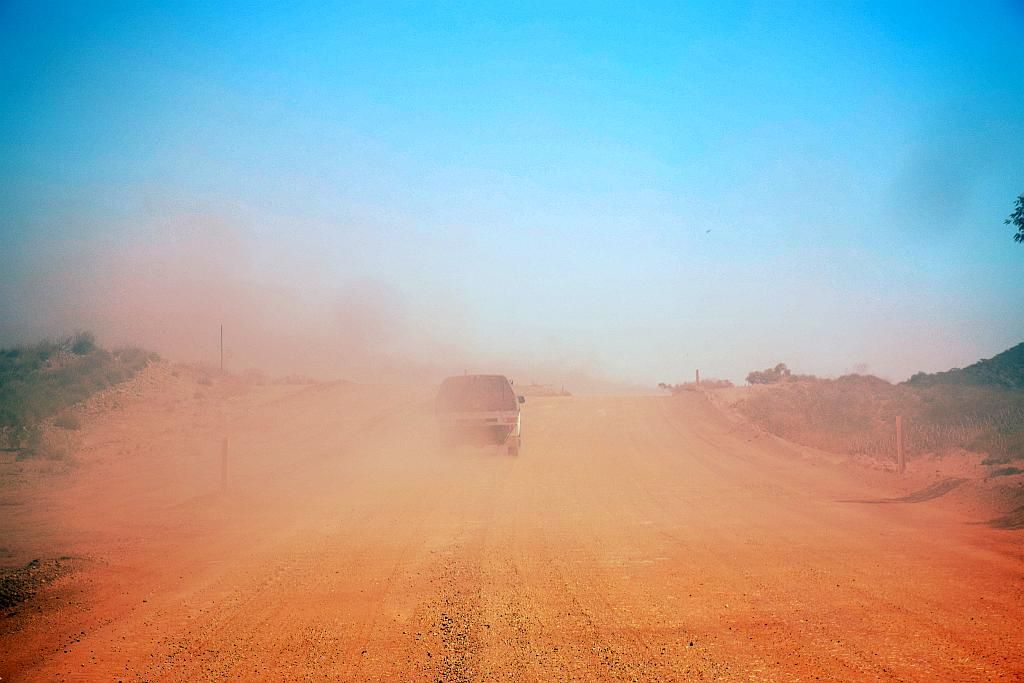
A late start and I finally hit the road at 1130. I tried making contact with the leaseholder unsuccessfully for permission to camp. If he reads this, he will be glad to find the only evidence I left behind were some footprints and some buried ash. On the road and it was a lot more pleasurable drive then the Gt. Northern, but it had me getting a bit weary. I made the decision to stop off at the IGA at Kelleberrin for an "energy" drink. 10Km's from town, I spotted a stranded motorist and stopped to provide assistance. When I arrived, a plume of black smoke was pouring from under the partially closed bonnet. I grabbed my extinguisher. When I got to the vehicle with extinguisher in hand, a grader driver had also stopped and was emptying his 4.5Kg dry chem into the smoke. Once he had emptied the extinguisher, then the flames started. Originally just a few flames licking out from under the bonnet, it progressed to total devastation. Once it gained a hold in the interior, it was all over. I emptied my 1Kg dry chem at some stage and noted that an extinguisher of this size is probably good for bugger all.


The above photos being taken much later on from when I arrived. Pictures were a last minute activity. First priority was to see if we could put it out. On that we failed.
Speaking with the driver he told me he was over heating and trying to limp it into town. It never made it. It must have been bloody hot. Whilst we were attempting to douse the flames, the engine at one stage tried to self start. When the tyres caught fire and started "exploding", we decided moving back a little was probably a good idea. You have to feel sorry for the fella. It looked to be in great condition before hand and when he mentioned he wasn't fully insured. Nothing I could do, I departed. Parking the car 100m downwind and leaving the door open was a mistake. The noxious, toxic smell permeated every nook and cranny of the Paj and took some days to clear.
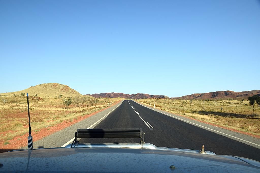
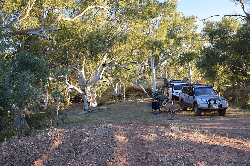
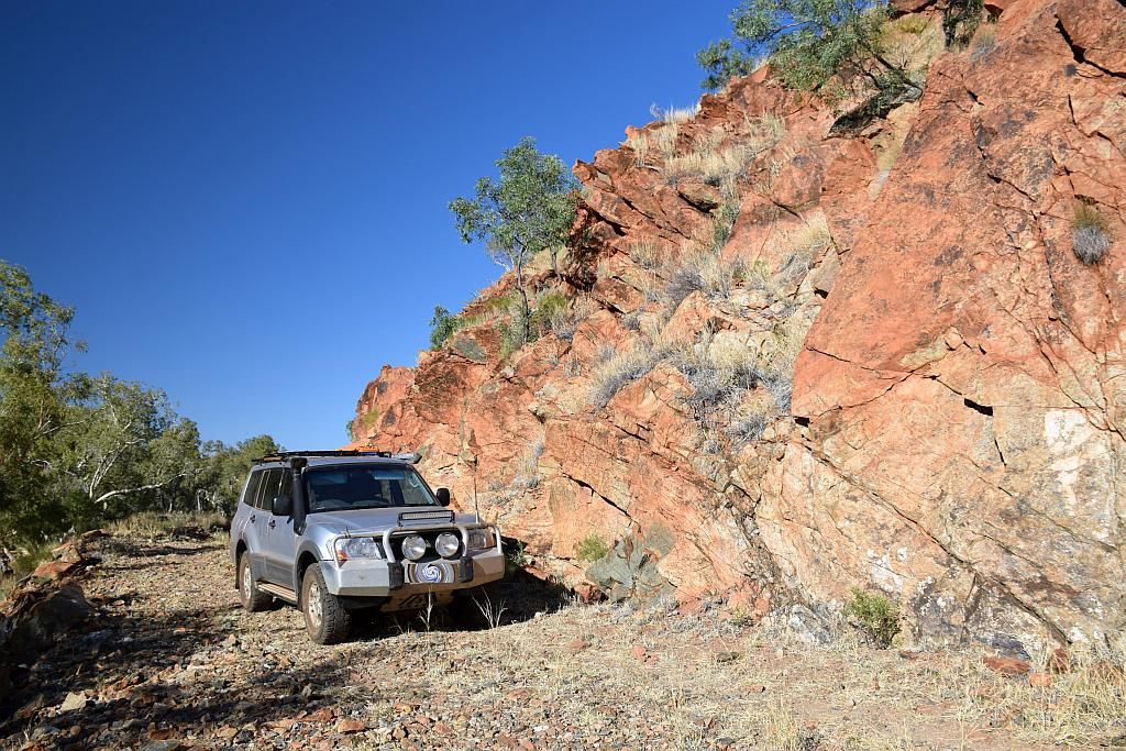
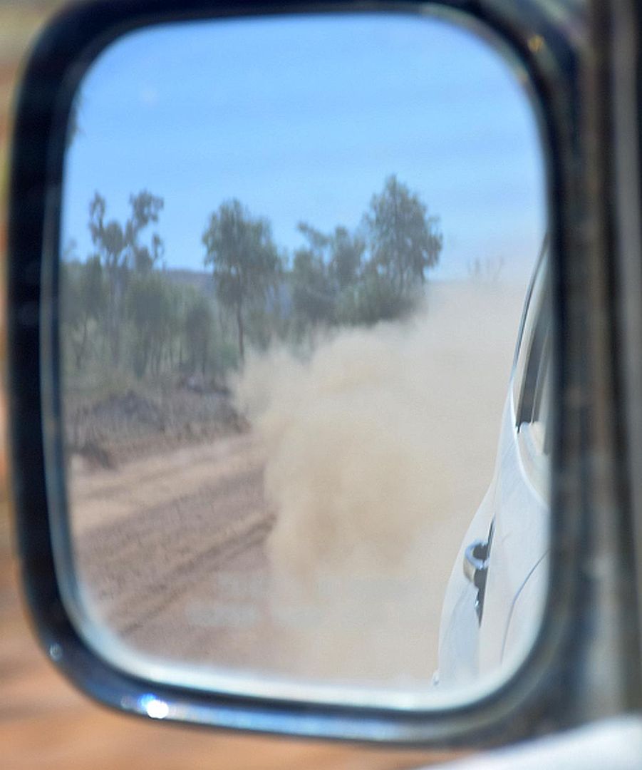
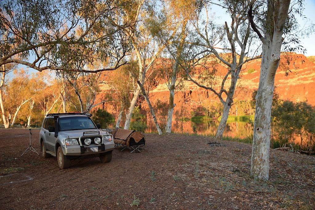
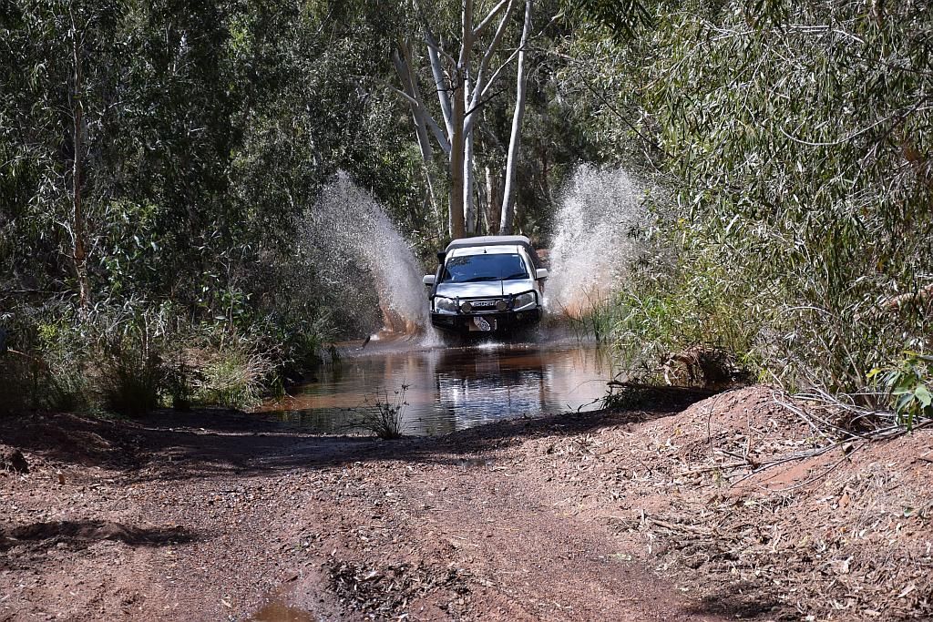
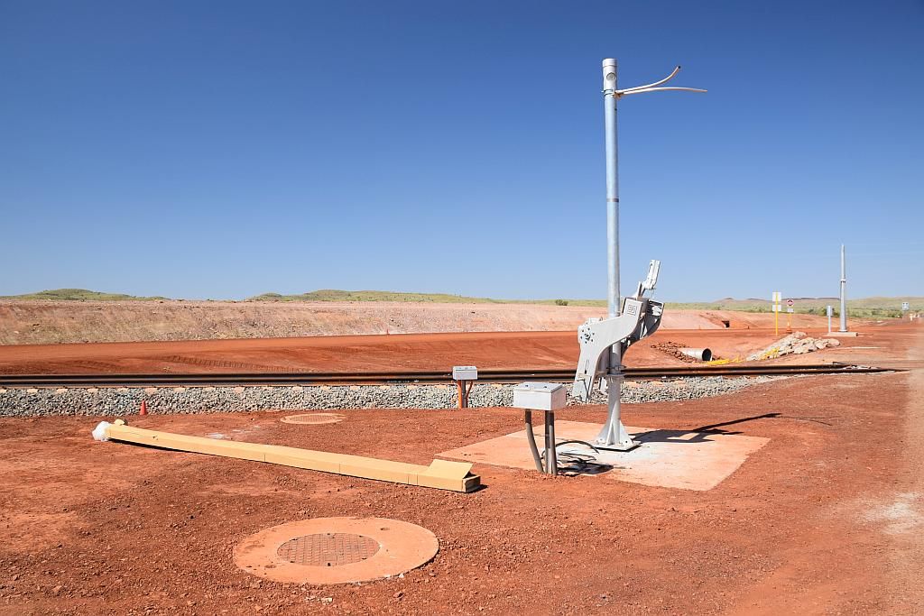
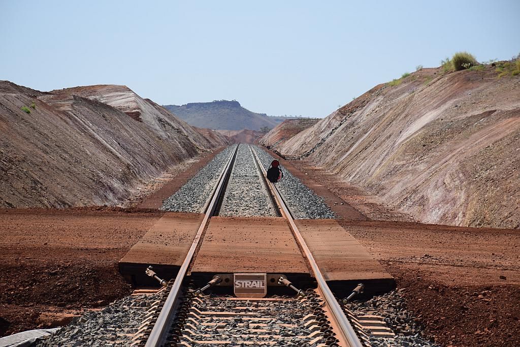
And so it was, back on the road for a refuel at Southern Cross. It must have been the stiff tailwind, because I used a lot less fuel than I normally do to get here. A nice bonus I guess. Being 1630, I needed to make a move. I had an unexplored camp site to find. I passed the gate to Birthday Mine and found them to be open. Someone must be working here again. I note there was $200K expenditure spent on the lease in 2014/2015, maybe the Singaporean Leaseholder is getting ready to fire up again? Passing the old diggings, I took a side track that should get me out of the live mining lease. Not too far down this track, I found a nice little clearing, timber aplenty at 1745. Just in the nick of time. Time to set up before dark. I noted the flies were a bit friendly and had a beer or two getting my camp organised.

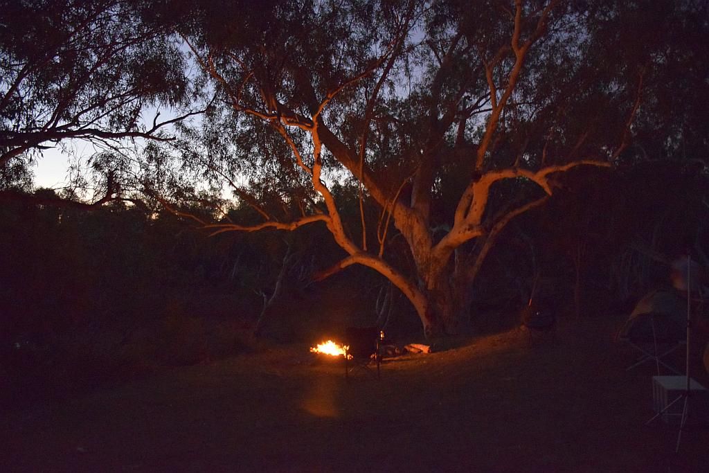
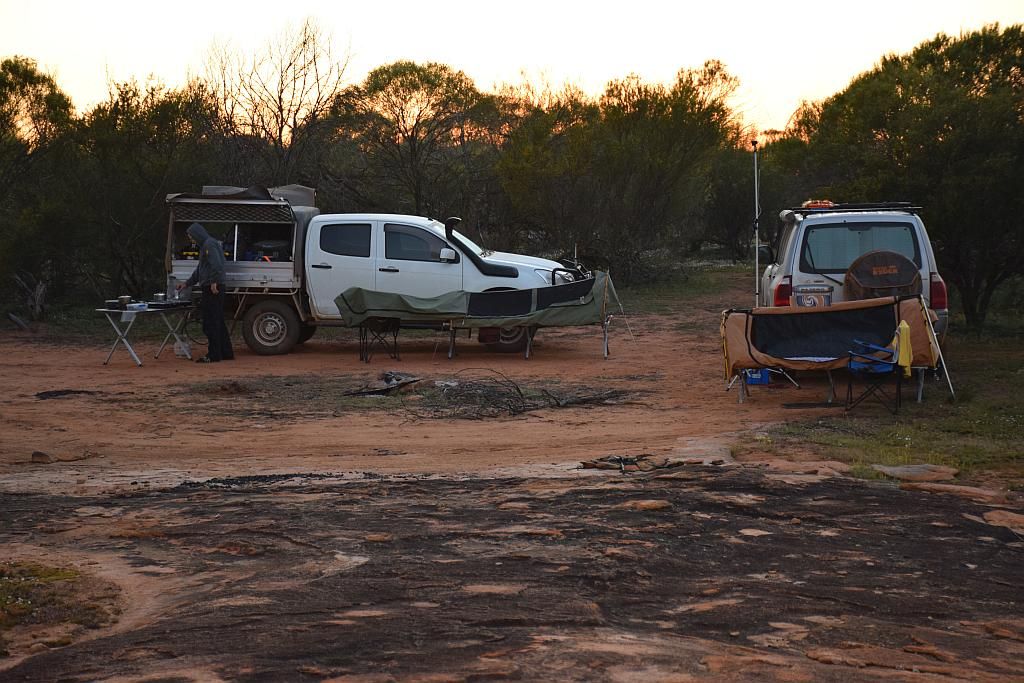
A quiet night, bush Tele in the foreground, dinner cooked and a few drinks, I retired to see what the area had to offer for a detector in the morning.
In the morning I awoke and got the coffee on the go. Putting the panels out and generally just sorting out those bits of camp I didn't get to the previous night. Noting that the flies were very cuddly, the fly net came out and was to be my companion for the remainder of the trip :(

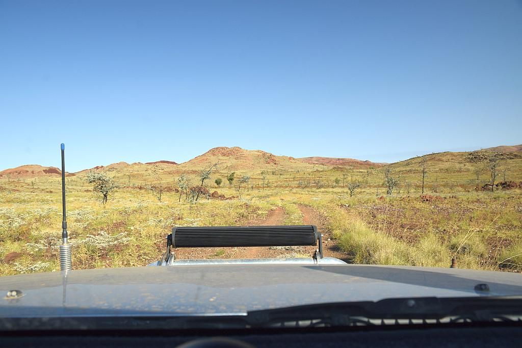
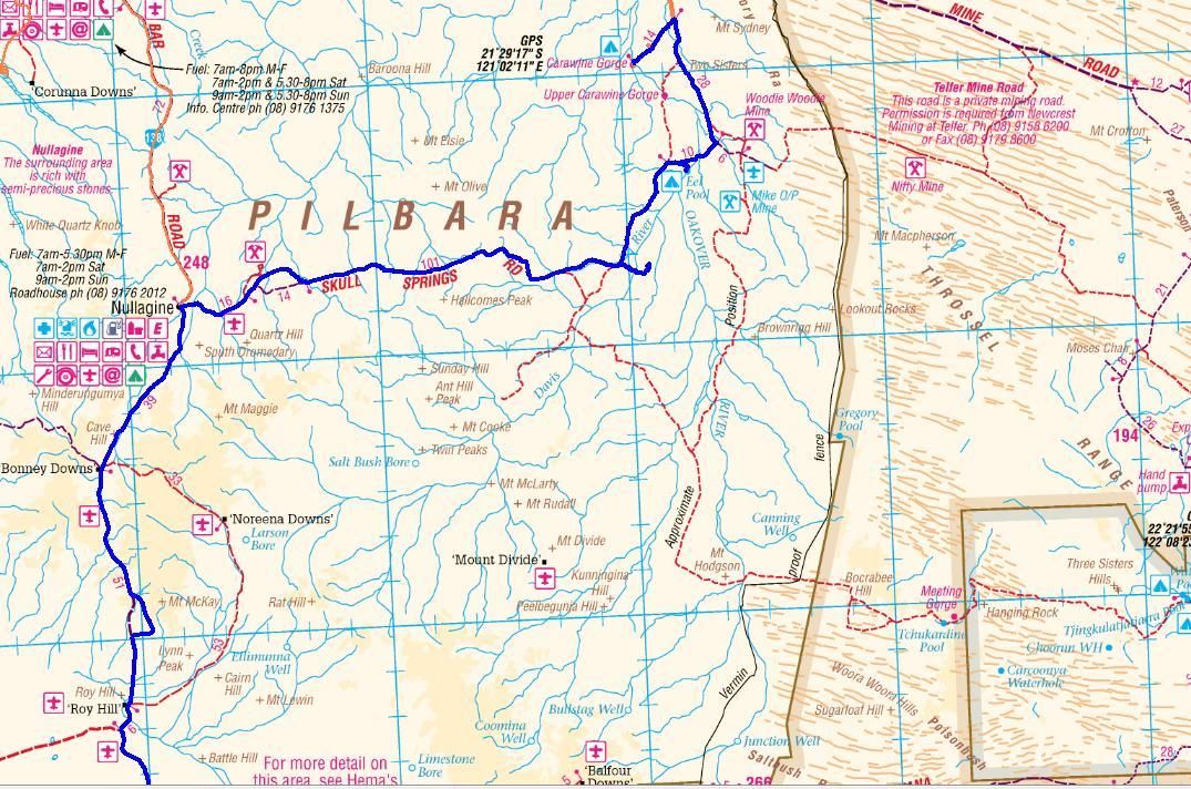
Not really in the mood for breakfast, I decided to get the minelab out and assemble it. Seeing as I was on my own, and in unknown to me country, I decided to take the track and work areas to the side of it, until I had some knowledge of the topography built up and assuring ones self his navigation skills are up to the task. Plotting my camp on the map, I knew I had a lot of area I was allowed to be in to the North, East, and somewhat to the South:

A few hours in and it was time to return for lunch. Finding some good flat grounds, with lots of quartz chunks provided me with no reward however, but I was building up my knowledge of the area. Lots of the place was heavily vegetated, and this vegetation dictated where one would traverse.
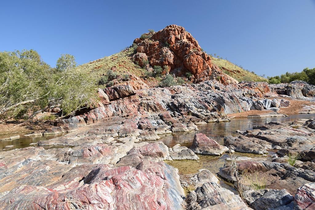
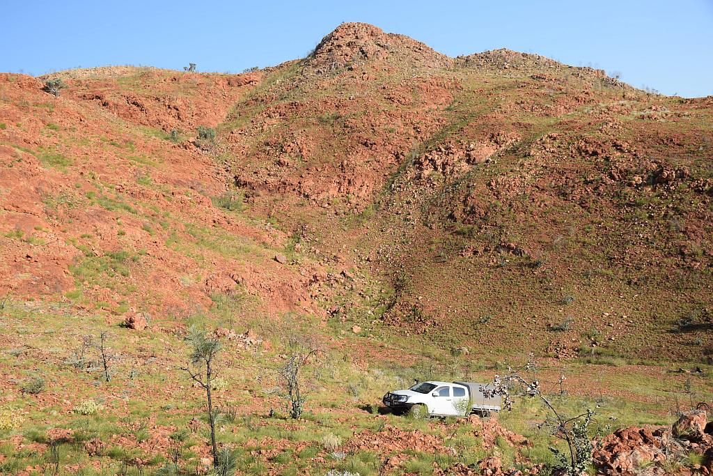
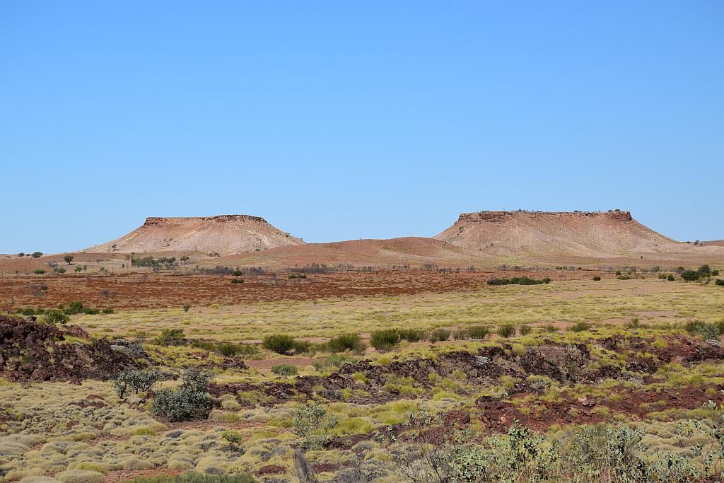
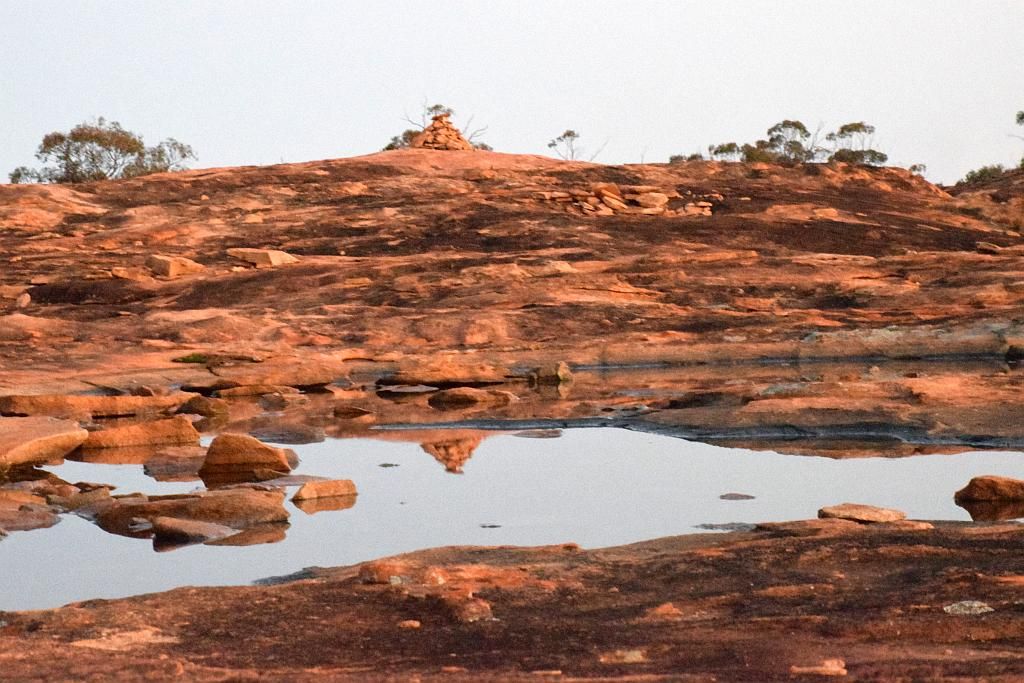
By now the flying sultana's were becoming troublesome, eating a sandwich a mission in itself. A few hours of ginning around camp and I headed out again in the afternoon, this time the Minelab left behind. I wanted to crest the hill to the rear, into the live lease, to both reconnoitre the ground and to see if I could obtain a visual of the surrounding area. Making a straight line through the vegetation was impossible. Lots of deviations both left and right, sort of got you heading on the bearing you wanted to begin with. Half way up the incline, the vegetation thinned out and made for a much easier traverse. What I noted in this area was a lot of evidence of prospector diggings. Not of the shaft variety, but of the detector's pick. Whether it is productive ground or just hot rock I am unsure. But the ground here was devoid of quartz and banded iron aplenty. The view blocked by vegetation was a bit disappointing, but through the trees I could see what looked like reasonably flat country all around and a salt lake in the distance:

I was now about half way to the trig point as marked on the map shown above. To get to the trig point meant descending this crest and ascending another through heavily vegetated ground. I decided I couldn't bother and a few beers at camp were in order.
On account of the fly's and the heat, I'm wondering if Ennuin Station should be named as per the title of this entry. Annoyin, most certainly. I still have tinitus ringing in my ears from all those flying sultana's. By 1900, the sun had set, the very little bit of moon had risen, the flys had finally buggered off and the fire was lit. Just bliss. Time to get dinner on the go and relax in the solitude with some tunes and a glass of red.

Friday morning and I rose late after a good nights sleep. About to get the coffee on the go, I noticed it felt a bit warmer this morning and the flys were off to a great start:

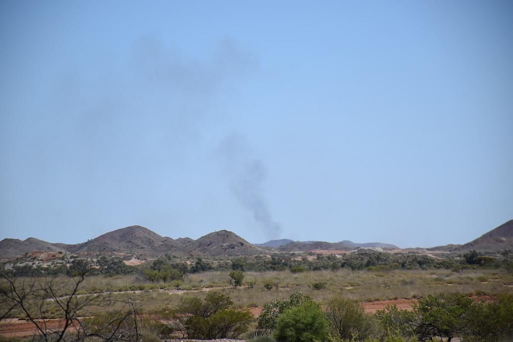
I have been hearing the odd dull bang in the distance every now and then. It reminded me of a car door being slammed shut. Before prospecting duties, I went for a walk to investigate on the track I had driven in. The track had a junction in it that I cant remember seeing when I drove in. Hence, getting ones bearings on the ground before venturing too far away is good advice to follow. A kilometer or so down and I reached the junction where the old diggings started. There was no one around. The noise could only be coming from the Birthday Mine, another couple of kilometers away. So happy in the fact I was still here in isolation, I returned to camp to get the detector ready.
Today I had decided to head South West, up the hill towards the Birthday Mine lease. Crossing some water courses I find a well defined track heading East. Obviously the track from that junction I didn't remember. The ground well over grown, made navigation a mission. Here, the ground is full of Banded Iron, some of them giving off good signals. I cracked a few open and decided it was just hot rock due to the iron content. Every now and then, some patches of quartz was revealed between the trees. Trying to get from the present location to these patches was difficult, having to go around in circles to get to the area. Detecting these area's didn't bring me any joy. I noticed quite a lot of ground diggings and scratchings here too. The ground obviously well hit by detectors in the past. So the question is: Has anyone found paydirt here in the past or like me, just dug up hot rock? If they had found some gold, even though well picked, the amount of vegetation gave me hope there is no way in hell they could have found it all.
It was getting quite a bit warm and I found that whilst the scrub was a bit of a pain, it also provided some relief from the sun. I chased a few of of these quartz patches up the hill to the blow's they originated from. But I was unrewarded. Good looking ground. The lights were on, but nobody was home:

I noted although my intended destination was to the South West towards the mine, the scrub sent me to the South East. I was on the South East edge of this incline, probably about 2/3rd up and spotted what looked to be a tank on a small rise further East in the distance Stopping for a drink, I spotted I had parked up beside a Sandlewood tree. Its nuts had lost its orange colouring, but the foliage is quite a different shade of green to the rest and they stick out prominently. Sandlewood grows naturally here and has provided employment to the old cutters for about a hunderd years. These days the price of sandlewood is like gold. There are still sandlewood cutters working in the goldfields area. I took a picture for my mate Bruce, who was asking me about them last time we were here:

I must look into why sandlewood is so popular for incense. I collected some samples once and burnt them, expecting to find that unique smell permeate the air. All I could small was bushfire. Maybe its a different species, maybe post processing? Whatever, without having done any research on the topic, I am at a loss as to its value. Enough of the flora lesson.......As it's getting quite warm now, I decided to return to camp for lunch.
A cold drink down, the flys well and truly troublesome and trying to chase some shade, Lunch seemed such a chore. I think it took me a couple of hours to build up the courage to even make a sandwich. But courage I did find. I'm not sure if the hardest task was making the sandwich free of winged sultana's or trying to negotiate the fly net to eat it.
The heat and the flys sapping my motivation, I hung around at camp for a few hours. Later in the afternoon I decided to head out on that track to find the tank I had spotted earlier. I couldn't be stuffed dragging the detector along, so it was just a reconnaissance hike. I found the tank about a kilometer from camp:

You can see the hill in the background from where I saw this earlier in the day. The tank being in very good condition, obviously not that old. From here piping led down the hill to a bit of structure so I went to investigate that. Finding the remnants of a bore that fed the tank. The windmill now long gone, the pump was in place. So I tried by hand what the windmill would do. A bit on the stiff side at the start, I got it pumping and spilled the underground water at my feet:

Hot, sweaty and tired, I returned to camp. That was enough for one day. Time for a shower and a beer. Then to wait for those blasted flies to bugger off so I could start dinner. The bit of colour in the sunset made the beer go down a treat:

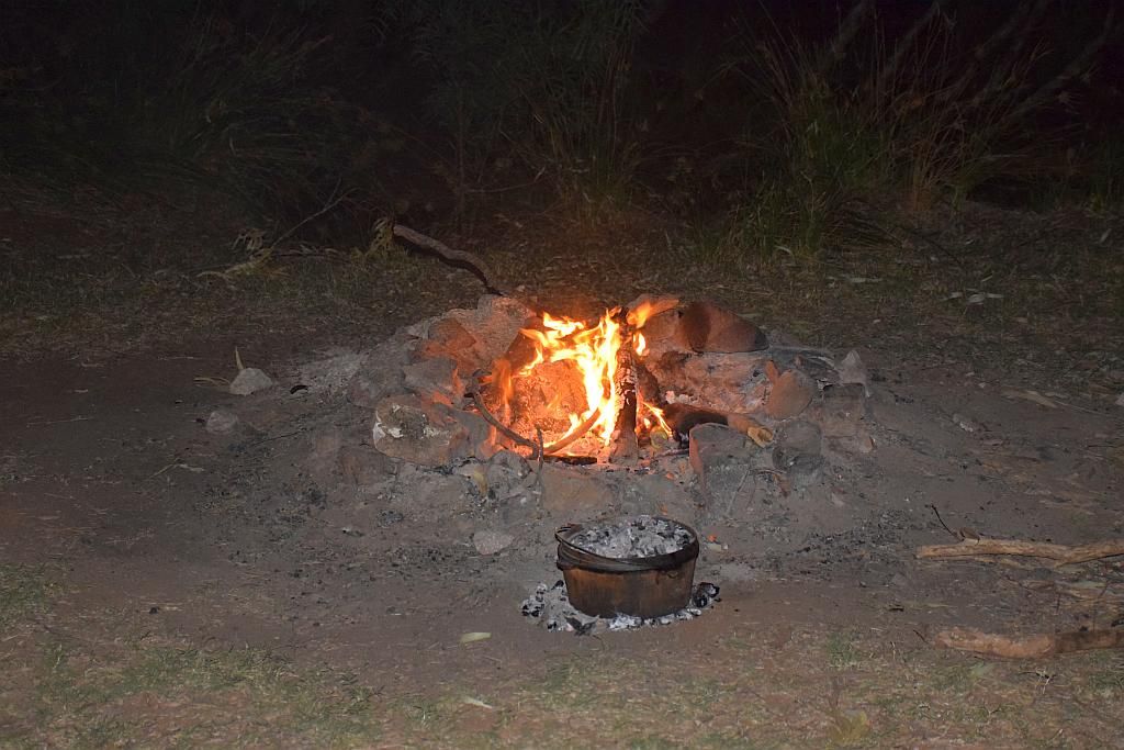
And pretty soon afterwards it was time to start the bush telly again:

Another blissful night, dinner and dishes done, time to stare into the fire with a glass of red. So I had to make a decision - do I stay in the morning or head up to Mt Jackson. Whilst I had found nothing of worth to date, I couldn't say I had hit it hard either. The hour or so of packing camp to drive 50 odd Kilometers to unknown ground, only to have to set up camp again for a few hours of detecting, just didn't seem worthwhile. So I decided to stay the last day here and go home with the knowledge that at least I gave it a good shot. Glass of red done, it was time to burn down the fire then lights out on another day.
Saturday I woke early (like 3am early) to water the Acacia's. I don't think I went back to sleep. Approaching dawn, the birds fired up and killed any chance I had of returning slumber. It was here I noted the fly's were being their frustrating selves between 0517 in the morning and 1850 in the evening. Certainly not giving one a reasonable break in between these hours from the little bastards, nor giving ones ear drums much of a chance to recover from the high pitched ringing they left behind. Not to mention the occasional hacking one up, that got under the fly net and decided having a look at your tonsils was a good idea.
After breakfast I headed out to the flats once again like I had done on the first morning. The ground at least looked promising. In places, I found my boot prints, so when seen, I moved away for more unexplored country. A couple of flat open pieces were very soft to walk on. No doubt, when it rains, these areas become soaks. About 2 hours in, I headed East and at some stage I fired up the GPS to see where I was. I noted I was about 40m from the bore I had tagged the afternoon prior. So I made my way over and connected all the dots onto how this land was linked. 3 Hours gone now, I returned to camp. It was bloody hot today. Every now and then above the foliage I could spot the hill, the base of which I was camped at. A few days in and I had built up a good visual knowledge of the landmarks needed to navigate back to camp without the use of electronic devices.
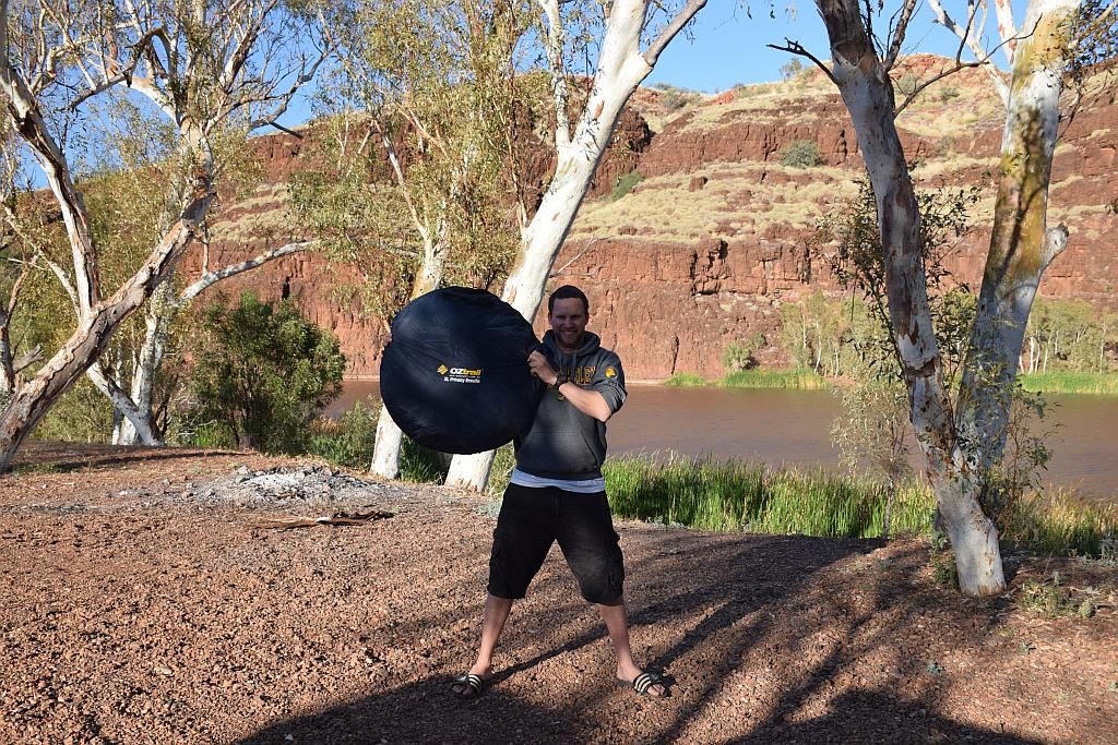
Back at camp, it was very hot. 2 cans of drink went down in no time. Just too hot to do anything else today, I chased the shade and read the minelab owners manual. Don't tell anyone this bloke actually read a manual:

You would think I would have no interest in flys by this stage, but I spotted a custom paint job blowie that just needed to be recorded for posterity:

And seeing I had the camera out, it was time I recorded myself, fly blown and hot to blazes. Chasing shade, awaiting cooler weather. A sombre time in camp:

I decided another shower was the go. Pulling the water from the car, the container felt quite hot. The fridge thermometer telling me it was 41 degrees ambient. Mind you, this is in the car, not outside temperature. I doubt it was that warm outside. The shower I had was bath tub warm. Even though it was hot, the warm shower hit the spot, removing all the built up sweat and red dirt. I felt a million bucks afterwards.
By about 4pm, it had started to cool (relatively speaking) and the shower had certainly perked me up. So I got ready to head out for about an hour, seeing as it will be my last time to use the minelab for some months. Heading South back up "Birthday Hill" I got about 20 minutes in and then started to get rained on...WTF? Turning around, I looked back towards camp and the hill I was camped at the base of. A big black cloud had started to roll in. Whilst I had no issue getting wet myself, I wasn't too keen on giving the minelab its first bath, so I called it a day. On the hike back, the blackie decided it would rumble on. I just hoped I could get back to camp before it beat me:

But beat it I did. Scrambling around camp I started making preparations for a deluge. When I arrived here, the ground was firm. The red dust held in a solidified suspension from previous rainfall:

But a few days on the ground, breaking the crust under boot, reverted it back to its fine red dust origin:

The issue here being if that deluge did come, then camp was going to become a quagmire. I sat in my chair and watched the events unfold, beer in hand. As luck would have it, the thunder and the rain passed to my West and to the South. I was saved:

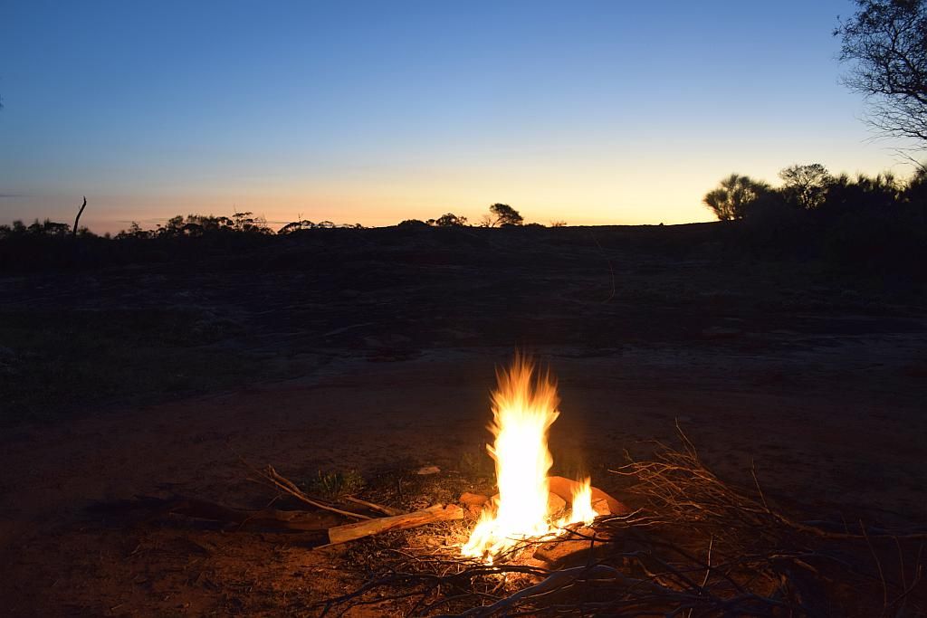
Being hot and sat in my chair somewhat prematurely, my daily beer ration doubled today. Now I just had to endure the attack of the flies until I could light the fire and get the last supper under way. There was so much timber laying around, I still had a good stockpile from the previous night. Not that I had to walk more than 20 meters to grab more if so desired.

Beer rations consumed, dinner and chores out the way, I spent the last night just like all the rest. Glass of red in hand, staring into the fire until I thought it was noddy time.
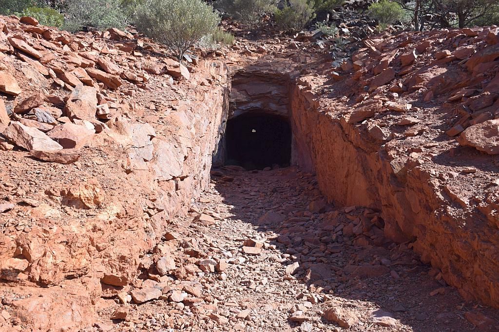
Sunday dawned and I awoke early (not 3am early). Coffee being consumed, I started to pack for the journey home. My time had come to an end. By 0730, I was done and on the track out. Stopping at the old diggings for a look and a few pictures:


You could see a water course on this hill and the hole above was directly in its path. No doubt colour had been found by panning this water course and holes dug to trace the source. But I did wonder how the hell they ever got on when it rained. This hole would provide the perfect basis for a well. Not something I would think very appropriate for a working digging.
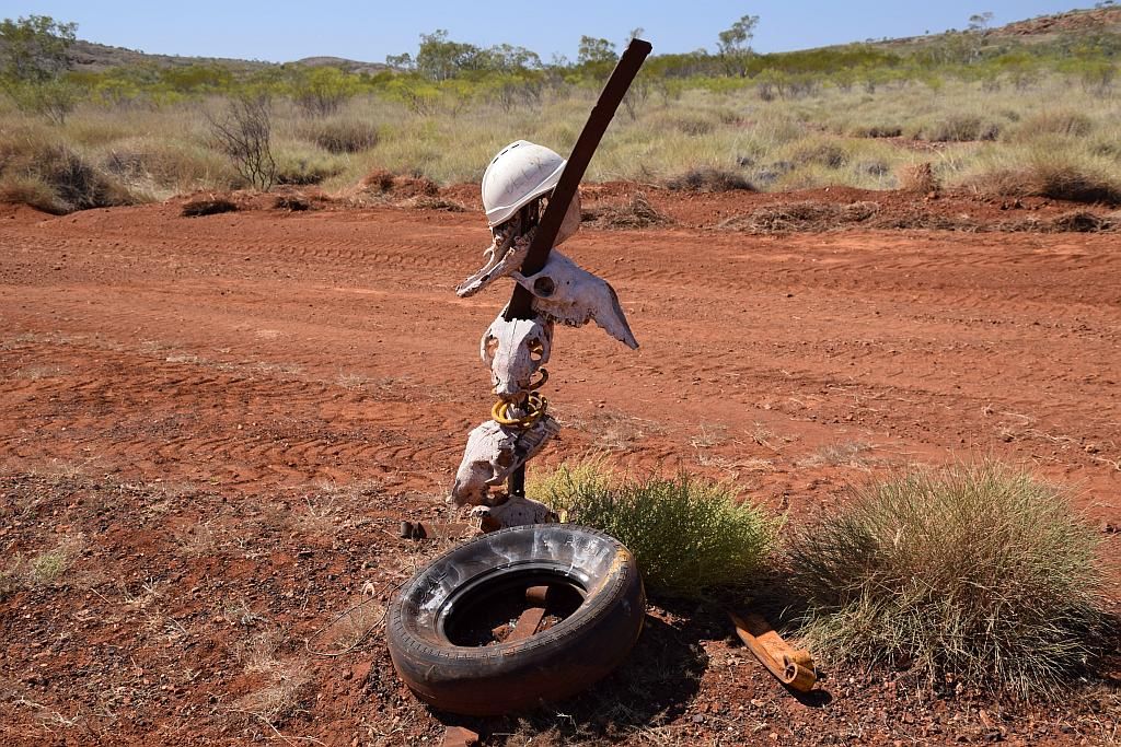
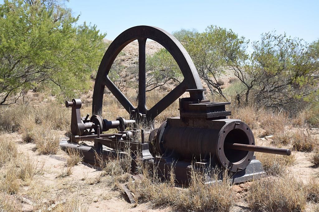
As usual in the environmentally friendly practices of mining in days gone by, loads of old equipment laid scattered about the place. Rehabilitation wasn't a word back then. But it does give rise to investigate what lays around and a photo opportunity or two:


Moving on, I stopped at the open gate to the Birthday Mine. I decided I would poke my head in and say G'day (and probably run for my life when a shotgun wielding bandit chased me off his lease). Walking up to the mine entrance, I could see no signs of life or vehicles up by the donga's. They may have left yesterday for a day off? Whatever the case, I returned to the vehicle. Approaching their camp whilst occupied may have been a bad idea, but being found there when the camp was unattended may have been a lot worse.
Heading South, I stopped at the main gate. There is (or was, as its now archived) a cache here. So I thought I would find it anyhow. Suspecting the cache being at a prime location, I was stunned to find the GPS had me 20 meters away in open ground. It certainly couldn't have been where the GPS was telling me, but it also wasn't where I expected it to be. I left empty handed.

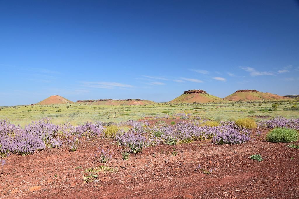
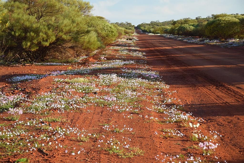
On the other side of the road, a large cleared paddock, obviously full of stock at some stage in the past. It was a blanket of yellow. Just not the yellow I was after:

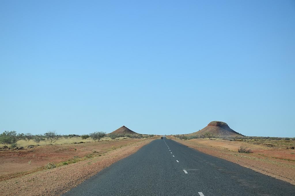
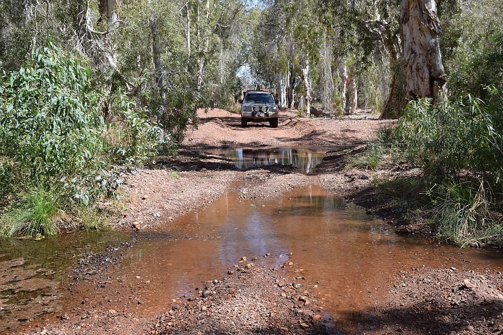
Heading South again, I came to a road junction I wanted to check out. I was going to cut through this road last year from the other end, but a no through road sign and time constraints meant I didn't take it and went the long way around. See "Up the guts of the Goldfields" (July 2014). I have since had some intelligence given to me by George and Rod, fellow Goldfields explorers, that this road if dry is fine. So I have a day to kill to get home and there is nothing like gaining your own knowledge, so I ventured off.
Being dry, the road was fine to traverse. It wouldn't be too much of an issue even with the camper in tow. But it was a bit windy and twisty. A few of the bends could have you thinking of the best line to take for the trailer. There was evidence of what could be instore should it be wet:

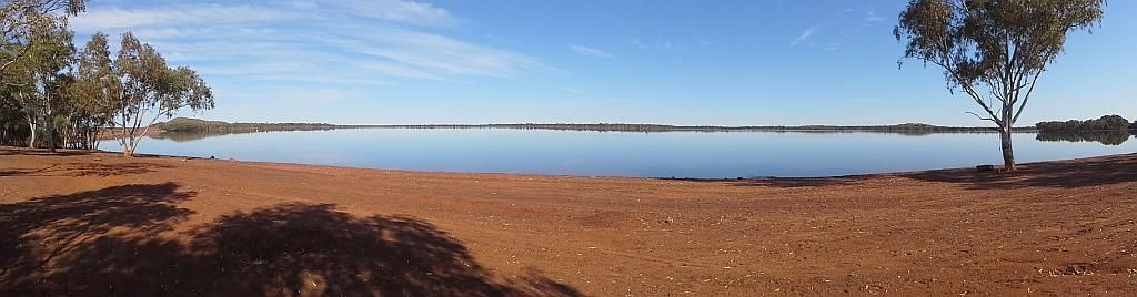
The road traverses lake Baladjie to the North and the huge granite monolith can be seen in the distance:

Soon enough, I had made the end and was now into the wheatbelt. It was slow going, due to the bends, but I'm sure it shaved both time and distance off compared to the long way around. At the end, I proved the no through road sign was a fallacy (as I had suspected in "up the guts")

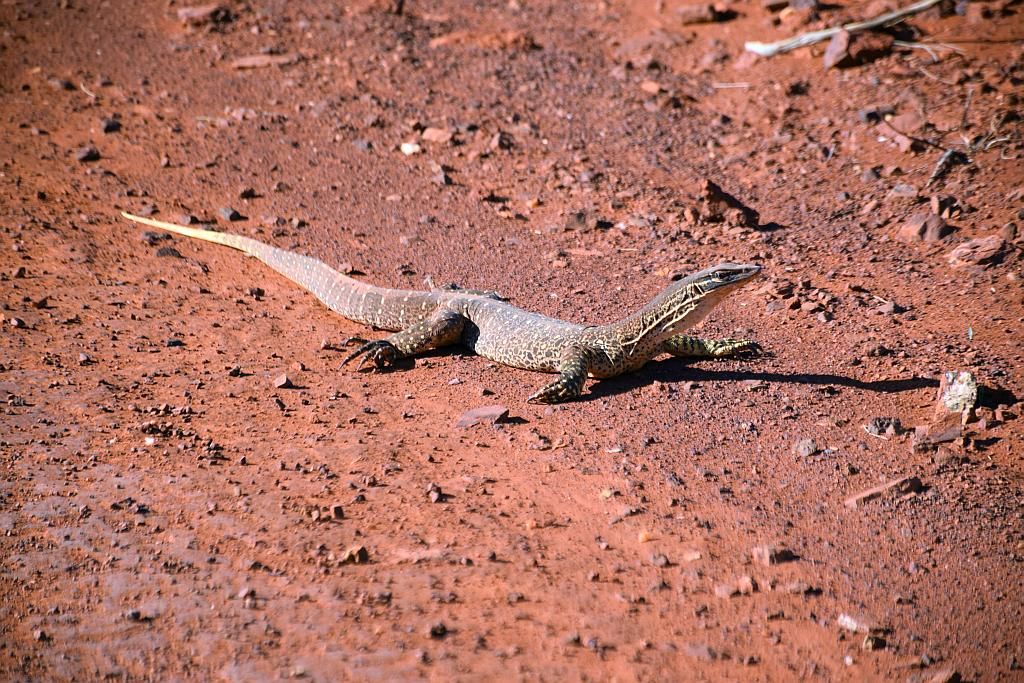
So it was time to make for Mukinbudin. Typical wheatbelt gravel roads that are in just the best condition and with their familiar wildlife. In this case, a double header:

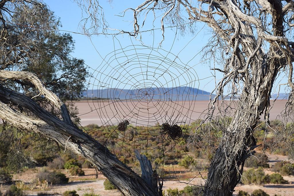
Passing Chiddarcopping reserve was certainly different. Such unusual landscape from the plains, rolling hills and granite outcrops of the area:

And by 11am I was in downtown Muka. I decided to grab a burger with the lot at the cafe, seeing I had not had breakfast and would be Skipping lunch for the drive home. let me tell you, the $14 burger was bloody awesome. No doubt I'll be back for another.
Whilst here I stopped in unannounced to DX Grunts place to see if he was home. Sorry Rossco, tried to contact you via social media an hour beforehand once I got phone coverage back. As luck would have it, he was home. A quick chat and he headed for work whilst I headed for home.
After that, there was not much to report. The Prado BBQ had been towed away and I got home around 3pm. Just enough time to unpack the fridge and the car and make preparations for that dreaded four letter work tomorrow.
So in the end, I found no gold, but at least the 4500 is now dirty. I cant wait until April or so before I can go again. It just gets too hot and uncomfortable between now and then to go out.
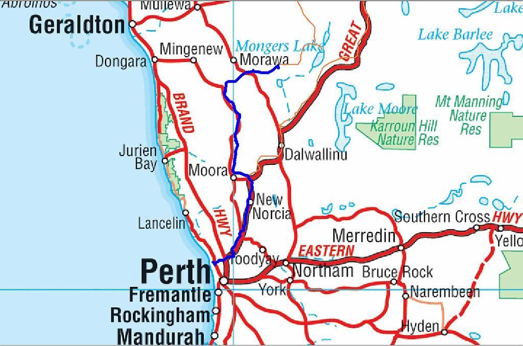
Another 4 nights under canvas brining the running tally to 39 for the year. I write this, just before I publish the entry, on a wet soggy Friday night. In the morning I head to Dwellingup for an overnighter. This will be informal Canning Stock Route planning trip number one with Steve and Georgie from the Paj forum. And will add another night under canvas. Being an overnighter, I wont be publishing anything about it here, but I will include the night to the tally in advance. So I will have 40 done come Tomorrow night. Getting closer to target 50. Wish me luck!
Trip Stats:
5 days duration
926Km travelled
100L fuel used
for an average of 10.8L/100Km
cost of fuel $135
Not sure what happened here with my consumption. I used far less going to Southern Cross than usual, only 39L. Last trip I used 46L for the same route. The return trip back to Perth was at the normal rate of 11.5L/100. Noting I had no load on the roof this time and the Prado fire showed me I did have a substantial tail wind.

Footnote: The Dwellingup overnighter did go ahead and that extra night under canvas was secured. I have decided to tag a brief note about it onto this post. As luck would have it, we missed all the rain too. Nothing of worth to report from the trip, except to say, we didn't get much CSR planning done. Thanks to Steve for his excellent navigation and to Georgie and mate Carl for their company.
A few selected shots:

Georgie runs out of gas, Finishes his eggs with a blow torch:

Carl mows the grass:

Dwelly Hills:

What goes down, must come up:

And Georgie gets his cross member hooked on a stump and runs out of traction:

Steve comes to the rescue with the winch:

Dwelly Trip stats:
420Km's Driven.
Fuel used (estimate at 11.5l/100): 48L
Fuel cost estimate (at 1.38cpl): $66